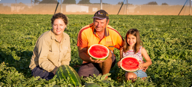
The Gascoyne region has long been acknowledged as a key player in Western Australia’s food production chain, supplying approximately 60% of Perth’s winter fruit and vegetables. Along with the tourism and resources industries, food production plays a vital role in the region’s economy and is a major source of regional employment and productivity. Horticulture, pastoral production, fisheries and aquaculture contribute to a diverse range of food products for the state.
An airborne electromagnetic (AEM) survey was conducted to map the groundwater distribution and hydrogeology of the Middle Gascoyne to resolve the aquifer distribution, in terms of lithological and salinity contrasts. The AEM survey area extended between Brick House Station on the outskirts of Carnarvon and the Kennedy Ranges.
The results from the AEM and on-ground monitoring by department hydrogeologists suggested that there was limited supply potential across the middle Gascoyne River and associated palaeochannels. This limited potential for accessing water of the same quality and quantity found in the lower Gascoyne suitable for large scale irrigated agriculture in the Middle Gascoyne area.
In April 2016, the Water for Food Ministerial Steering Committee approved a scope change for the project and directed the project team to focus on the development and implementation of a Gascoyne Master Plan. A draft Master Plan was developed through consultation and engagement with Government departments, local industry and community groups. The draft plan primarily focused on irrigated agriculture, but also included information on pastoral and fisheries sectors.
Key achievements:
- Completed groundwater investigations in Upper Gascoyne using an airborne electromagnetic survey (AEM)
- Drilling investigation bores to qualify the AEM data and confirm the site geology, water quantity and quality
- Reviewed hydrogeological work already undertaken in the area, including existing bores and water quality
- Confirmed the amount, quality, suitability and sustainability of water
- Confirmed the land tenure options for development in the region
- Completed Draft Gascoyne Master Plan.
If you would like a copy of the attached documents in an alternative format, please contact kerrie.house@dpird.wa.gov.au

